When it comes to digital marine charts, two names dominate the conversation: C-MAP and Navionics. Both are trusted by anglers worldwide for helping locate prime fishing areas, but the question remains—do anglers prefer one over the other? The answer often depends on personal needs, regional coverage, and the specific features of each platform. This comparison between C-MAP and Navionics reveals how they stack up in terms of chart detail, functionality, and user experience. Tools like Garmin marine electronics have further amplified their usefulness, integrating seamlessly with these charting solutions to provide anglers with a more complete fishing experience.
Why Digital Charts Matter for Anglers?
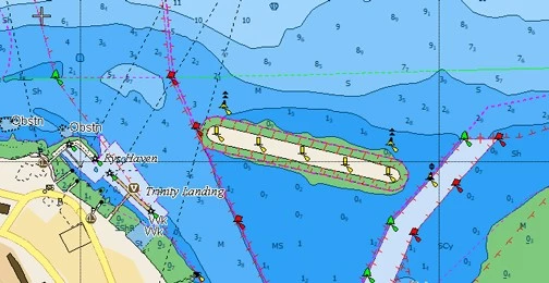
Fishing is as much about strategy as it is about patience. Locating underwater structures—such as reefs, drop-offs, and submerged wrecks—often makes the difference between a successful trip and an empty cooler. Traditional paper charts can help, but they lack the precision and interactivity anglers need in real-time. Digital charts, such as those from C-MAP and Navionics, not only display depth contours but also integrate with GPS, sonar, and tide data to highlight potential fishing hotspots more accurately.
What Sets C-MAP Apart?
C-MAP has earned a reputation for providing detailed, high-resolution bathymetric charts that highlight depth variations. Some standout features include:
- High-Resolution Bathymetry
With precision depth shading and contour lines, C-MAP charts make it easier to identify the structures fish are likely to gather around. - Custom Depth Shading
Anglers can set specific depth ranges to highlight, making it simple to focus on target zones where fish are most active. - Global Coverage
C-MAP offers excellent worldwide chart coverage, making it a go-to choice for anglers fishing across various regions. - Integration with Plotters
The charts work smoothly with a wide range of fishfinders and multifunction displays, enhancing versatility.
C-MAP is especially favoured by anglers who prioritise detailed bathymetry for offshore fishing or those who need extensive international coverage.
What Navionics Brings to the Table?
Navionics, now owned by Garmin, is equally popular and offers a user-friendly experience that appeals to many anglers. Key highlights include:
- SonarChart™ Layer
Navionics’ SonarChart provides incredibly detailed one-foot contour maps, ideal for locating small underwater structures. - Community Edits
The Navionics app enables users to share local knowledge—such as marked fishing spots, hazards, and tips—making it a crowdsourced goldmine for anglers. - Daily Updates
With thousands of updates per day, Navionics ensures charts stay current with the latest depth and navigation information. - Ease of Use
Navionics is widely praised for its intuitive mobile app, making it accessible even for anglers who don’t own high-end plotters.
For inshore or freshwater anglers who value crowdsourced information and daily updates, Navionics often proves the more practical option.
See also: Photoacpmpa the Future of Tech: Must-Buy Stocks in 2025
Comparing the Two for Fishing Hotspots
While both platforms excel in different areas, the decision often comes down to how each aligns with an angler’s fishing style.
- Detail vs. Community Data
C-MAP excels with its precision bathymetry, making it ideal for anglers who rely on accurate structure mapping. Navionics, however, adds value with its community edits, offering local tips and hidden gems. - Offshore vs. Inshore
Offshore anglers often lean toward C-MAP for its high-resolution depth shading, while inshore and freshwater anglers may prefer Navionics for its frequent updates and user-friendly app. - Device Integration
Both integrate with modern marine electronics, but Navionics has a slight edge due to Garmin ownership, making it seamless with Garmin’s ecosystem.
The Angler’s Perspective
Surveys and forum discussions reveal that many anglers use both, depending on the scenario. For instance, a saltwater angler chasing tuna offshore may rely on C-MAP’s detailed contours to find underwater ridges. Meanwhile, a weekend freshwater angler might choose Navionics to benefit from community input and access mobile features easily.
Some anglers even overlay both datasets when possible, using C-MAP for structure mapping and Navionics for local fishing intel. This hybrid approach allows them to maximise the strengths of both platforms.
Future Trends in Digital Charts
As technology advances, both C-MAP and Navionics continue to evolve. AI-driven predictive fishing maps, real-time weather integration, and improved crowdsourcing features are likely to shape the future of marine charting. Anglers can expect even more personalised tools to help identify hotspots based on past activity, environmental conditions, and fish behaviour patterns.
Conclusion
Both C-MAP and Navionics offer powerful tools to help anglers locate fishing hotspots. C-MAP excels in delivering highly detailed bathymetric charts suited for offshore fishing, while Navionics wins in accessibility, frequent updates, and community-driven insights. Ultimately, the choice depends on fishing style, location, and personal preference. For many, the best solution is not choosing one over the other, but leveraging both to improve accuracy and increase their chances of a successful day on the water.